


The next morning, Dawn and I woke well rested and made our way to the 5th floor Restaurant to partake of their rather delicious breakfast buffet.
For those that when you think of a hotel breakfast think of a very small room near the main office that has stale bagels, rubbery egg-things, and room-temperature milk, this is about as great an about-face from standard hotel breakfast fare as you can get.
Multiple types of loaded fresh scrambled eggs, bacon, sausage…. name it, they had it, heck they even had an on-demand pancake making machine.
I stuffed myself silly.
After breakfast, Dawn and I decided that we’d head off and do our own agendas of things we wanted to do while we were up north. For me, I wanted to return to the town of Snoqualmie, WA and visit their Railroad Museum.
I had seen the Museum as night was settling in roughly 3/4 of a year ago when Dawn and I were visiting the Snoqualmie Falls and seeing the familiar pancake batter picture live and in person. I would discovered later on today that it was a good thing that we had, as the Snoqualmie Dam was being altered and the old familiar structures of the hydroelectric project were being “modernized”.
The day before when we had arrived, the weather had been a bit overcast, but not too bad. By today, it was freezing cold and wetter than a dog that had just climbed out of a lake.
A quick scan of the news stations revealed that we were in the middle of some major rain, with the potential for heavy flooding.
While our location in Seattle wasn’t in any way threatened by potential flooding, I-5 in Chehalis has this notoriously bad habit of flooding out every time a protracted period of rain sets in.
Once Chehalis floods, the only way back south is to go all the way east to Yakima, WA and then head south down Highway 12 or further east down I-82. Long, long way out of the way.
So, stoically, and not wanting to miss the only chance I was going to get for quite some time to visit the area, I bundled up and set out for Snoqualmie.
Even with the rain and the cold, the drive east bound on I-90 was smooth and rather uneventful. I tried to take a couple pictures of my crossing on the massive floating bridge that makes up the I-90 crossing of Lake Washington.
I’ve always found floating bridges fascinating, the fact that they’re not too far from being a more sophisticated variation of a bunch of barges all bolted together, but are as stable as if they were permanently built structures that reached all the way down to the lake bottom far below amazes me.
From Wikipedia
The Lacey V. Murrow Memorial Bridge is a floating bridge that carries the eastbound lanes of Interstate 90 across Lake Washington from Seattle to Mercer Island, Washington. It is the second longest floating bridge on Earth at 6,620 ft (2,020 m), whereas the longest is the Evergreen Point Floating Bridge just a few miles to the north on the same lake, built 23 years later. The third longest is the Hood Canal Bridge, also in Washington State, about 30 miles to the Northwest of the Evergreen Point Floating Bridge.
Along with the east portals of the Mount Baker Ridge Tunnel, the bridge is an official City of Seattle landmark.[1] While the bridge originally had an opening span at the center of the bridge to allow a horizontal opening of 202 feet for major waterborne traffic, the only boat passages currently are elevated fixed spans at the termini with 29 feet of vertical clearance[2].
History
The bridge was the brainchild of George Lightfoot, who came to be called the "father of the bridge". Lightfoot began campaigning for the bridge in 1930, enlisting the support of Miller Freeman. The original two-way, four-lane toll bridge was designed by the engineer Homer Hadley (1885–1967) and constructed of reinforced concrete in 1940. The construction cost for the project was on the order of $9,000,000 including approaches. It was partially financed by a bond issue of $4,184,000.[3] Tolls were removed in 1949.[4] It sank in a storm on November 25, 1990, while it was undergoing refurbishing and repair. The current bridge was built in 1993. The eponymous Lacey V. Murrow was the second Director of the Washington State Highway Department and a highly decorated US Air Force officer who served in World War II. He was the oldest brother of CBS commentator Edward R. Murrow.[5]
Formerly known as the "Lake Washington Floating Bridge", the original bridge was built under a 1 1/2-year contract awarded to the Puget Sound Bridge and Dredging Company (the project was led by engineer Peter John Jensen) in the amount of $3,254,000.[6] It included a movable span that could be retracted into a pocket in the center of the fixed span to permit large boats to pass. This design resulted in a roadway "bulge" that required vehicles to swerve twice across polished steel joints as they passed the bulge. A "reversible lane" system, indicated by lighted overhead lane control signals with arrow and 'X' signs, compounded the hazard by putting one lane of traffic on the "wrong" side of the bulge at different times of day in an effort to alleviate rush-hour traffic into or out of Seattle. There were many serious collisions on the bridge. The problems grew worse as the traffic load increased over the years and far outstripped the designed capacity. Renovation or replacement was essential and a parallel bridge, the Homer M. Hadley Memorial Bridge, was completed in 1989.
1990 disaster

View northeast of bridge, west approach and Mount Baker Tunnel
In 1990, while under construction, the original bridge sank due to a combination of human errors and decisions. The process started because the bridge needed resurfacing and was to be widened by means of cantilevered additions in order to meet the necessary lane-width specifications of the Interstate Highway System. The Washington State Department of Transportation (WSDOT) decided to use hydrodemolition (high-pressure water) to remove unwanted material (the sidewalks on the bridge deck). Water from this hydrodemolition was considered contaminated under environmental law and could not be allowed to flow into Lake Washington.[7] Engineers then analyzed the pontoons of the bridge, and realized that they were over-engineered and the water could be stored temporarily in the pontoons. The watertight doors for the pontoons were therefore removed.
A large storm on November 22, 23, and 24, 1990 (the Thanksgiving holiday weekend), filled some of the pontoons with rain and lake water. On November 24, workers noticed that the bridge was about to sink, and started pumping out some of the pontoons. However, on November 25, 2,790 ft (850 m) of the bridge sank, dumping the contaminated water into the lake along with tons of bridge material. The bridge sank when one pontoon filled and dragged the rest down because they were cabled together and there was no way to separate the sections under load. Fortunately, no one was hurt or killed, since the bridge was closed for renovation and the sinking took some time. All of the sinking was captured on film and shown on live TV.
Precedents and lessons for the future
WSDOT lost another floating bridge, the Hood Canal Bridge, about a decade earlier under similar circumstances, and it is now known that another major floating bridge in Washington, the Evergreen Point Floating Bridge, is under-engineered for local environmental conditions.[8] due to a combination of human errors and decisions.
Eventually, I made my way into the “tourist trap” ends of Snoqualmie that leads from I-90 up to the original town itself.
The outdoor temperature during my drive up had plummeted quite a bit, it wouldn’t be too long before the rain became snow up at the elevation of town.
Still determined to see it all, I located a parking spot nearest the Snoqualmie terminal and began meandering around with my camera, though keeping it carefully cradled to prevent the rain from getting blow on the lens.
Given the time of the year, the “Santa Train” was running full tilt up on the Snoqualmie Railroad. Sadly, all the seats on the train were sold out, but given the shortness of the train route, it wasn’t a great loss.
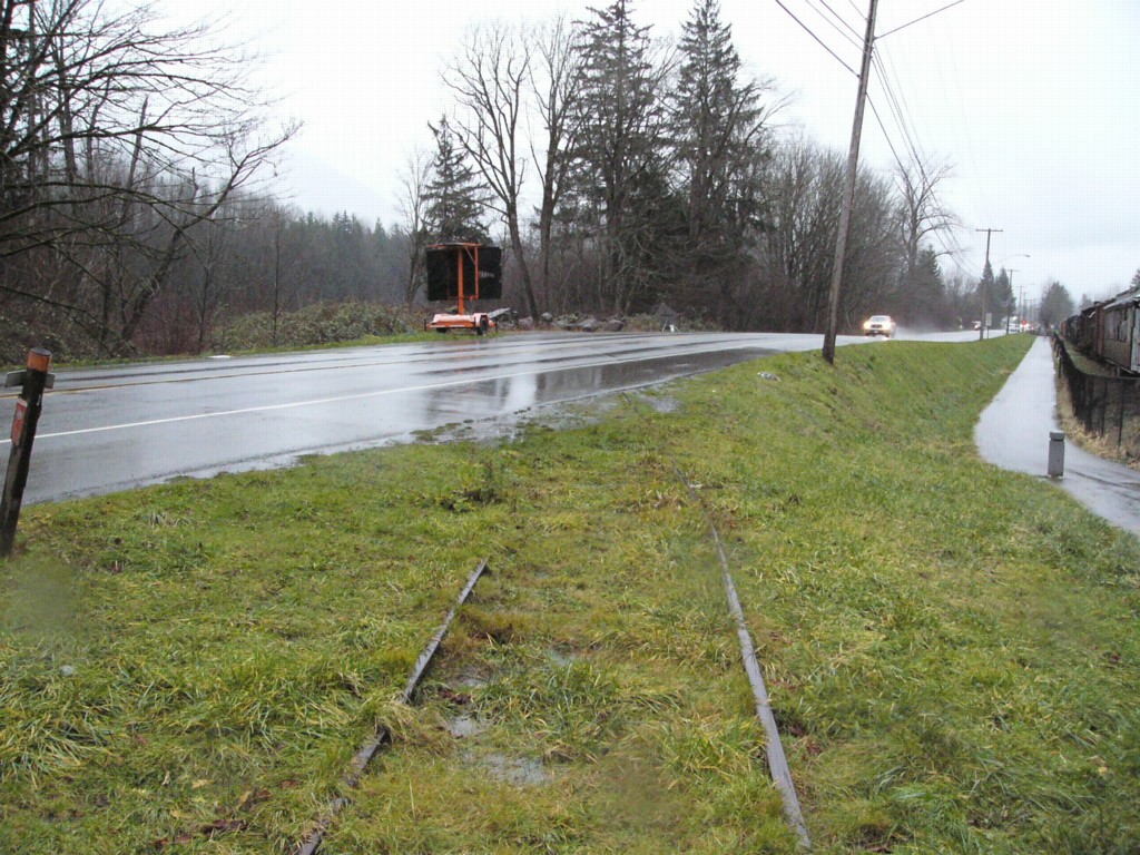
Once upon a time, the tracks of the Snoqualmie Railroad ran all the way from Seattle proper up to town, now only a tiny fraction of the track remains. All of the antique trains that had been carried up that now gone track forever trapped up in the hills.
As I wandered through the site, it didn’t take long before the photo shooting began.

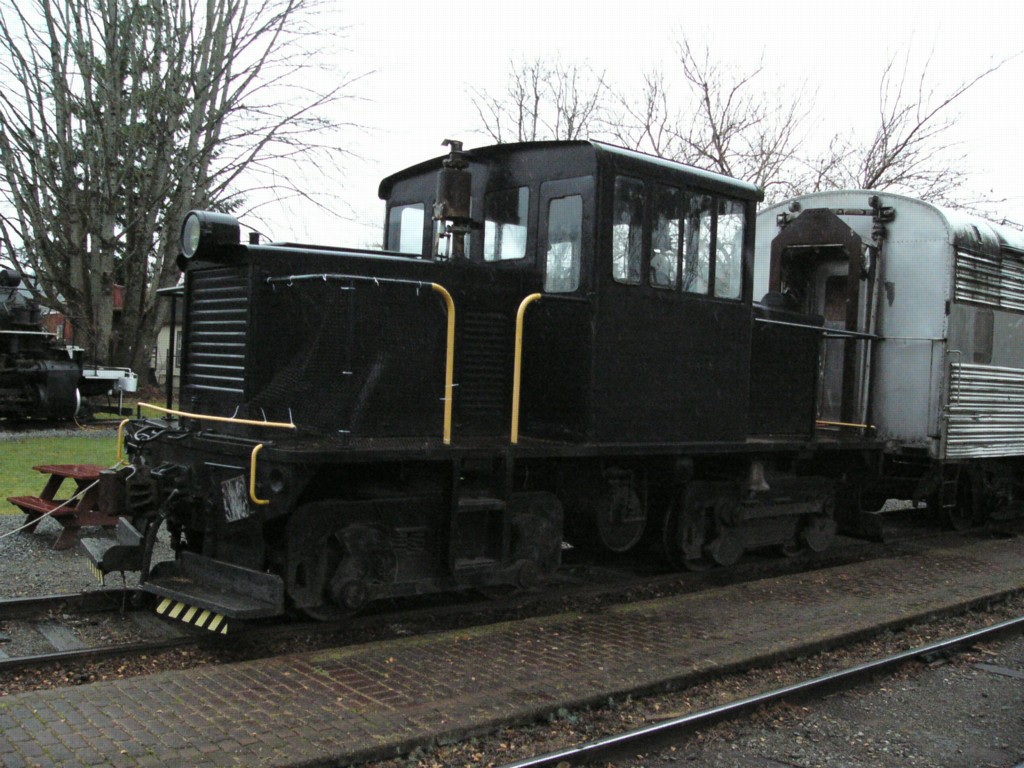
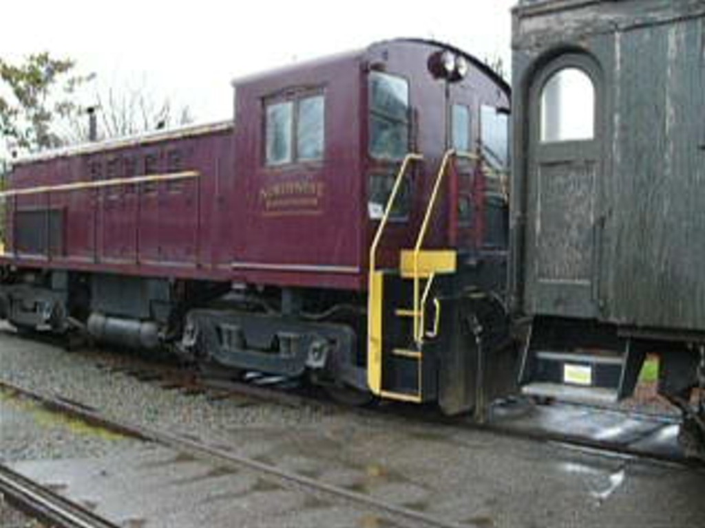
This old diesel is still active and used from time to time to pull the Snoqualmie Excursion train.
For quite some time, the Snoqualmie Railroad used this old Mallet Locomotive to pull their excursion trains, its since been retired, its place taken by two diesel switch engines, one at either end of the excursion train.
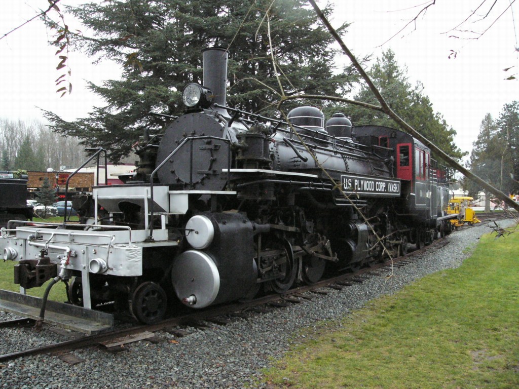
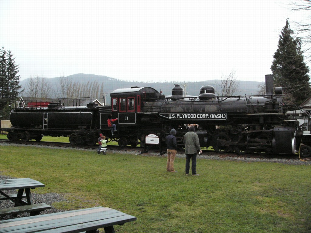
In addition to a fairly sizable collection of locomotives that are still in operating condition, the Snoqualmie Railroad also has an amazing collection of classic rolling stock.
This old US Army mess car was serving as a snack and beverage stand for those with tickets for the Santa Train. Given how cold I was getting, a hot cocoa sure would have been good…..
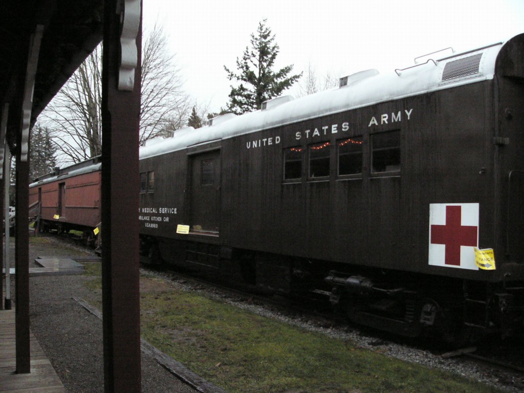
A lot of the rolling stock is in fairly good condition, however, the area around the station itself isn’t the only display yard of old Railroading equipment.
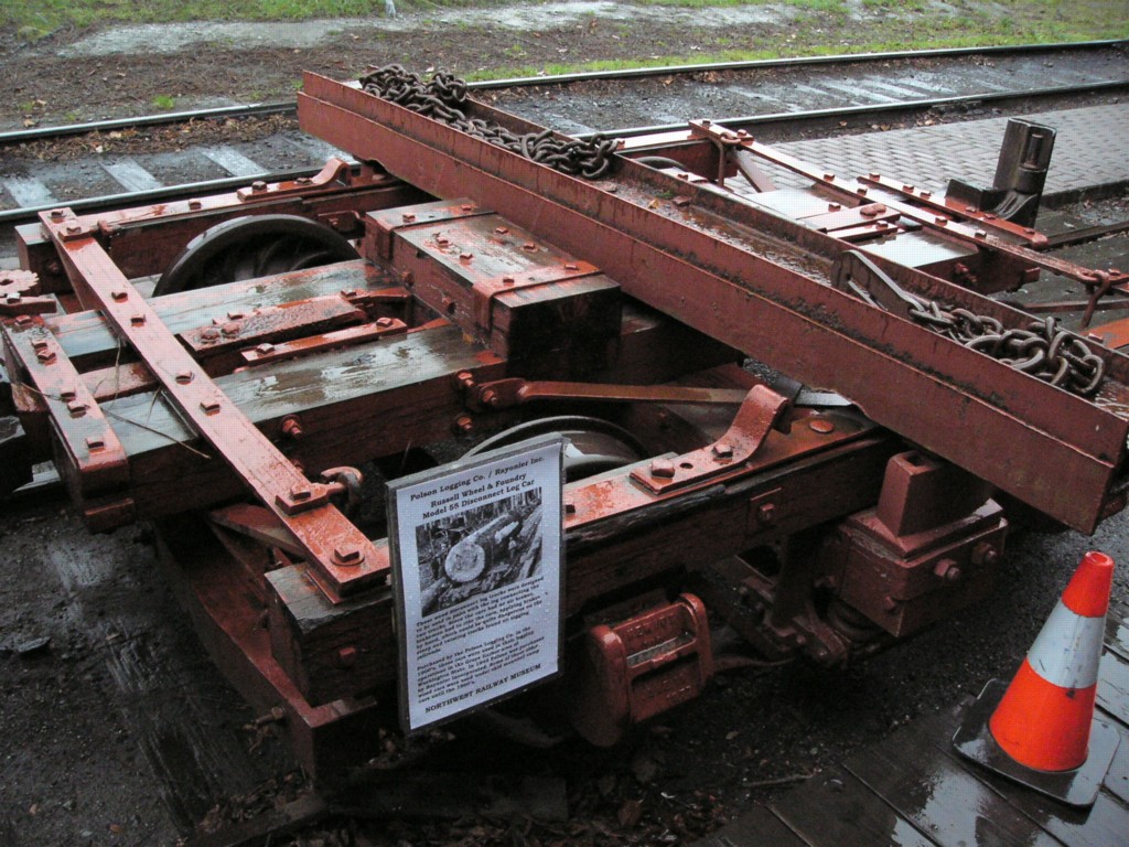
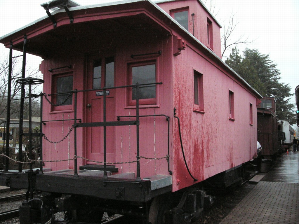
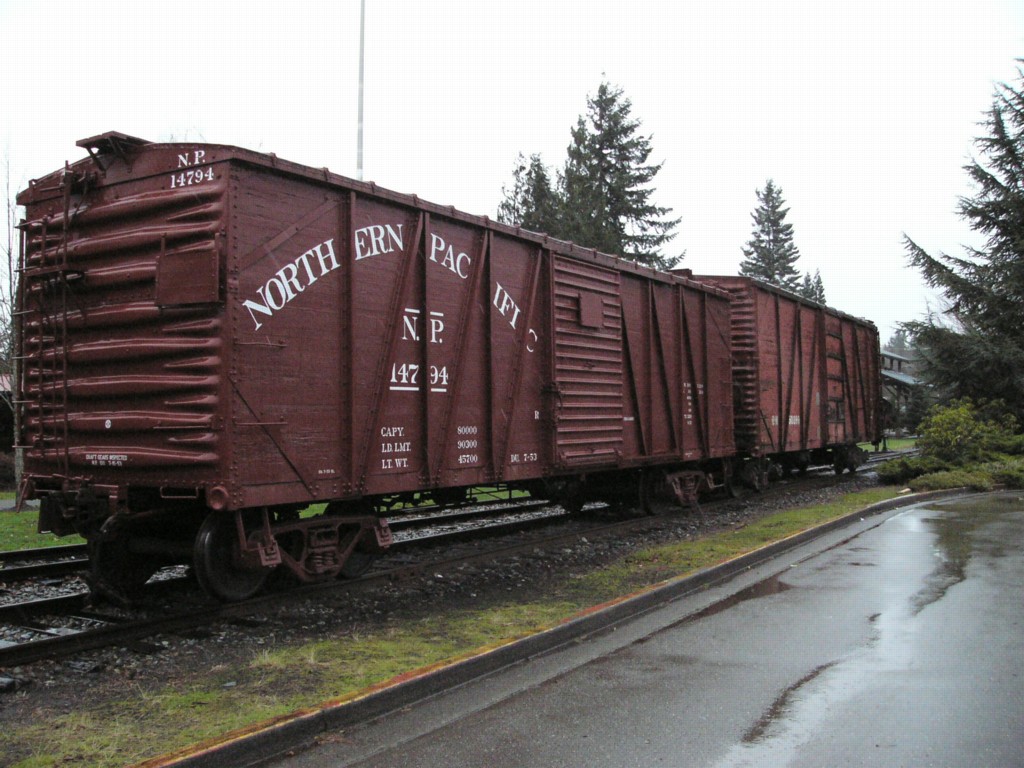
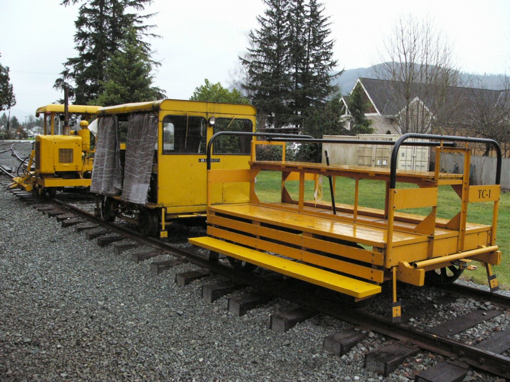
The Graveyard of Trains
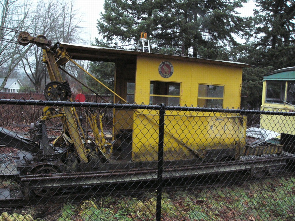
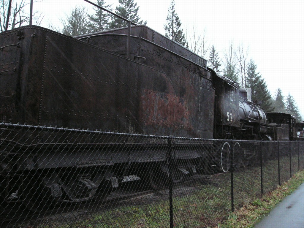
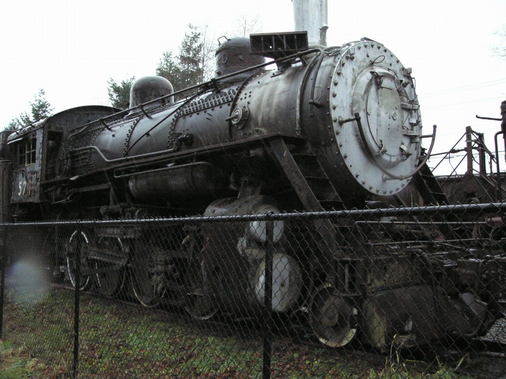

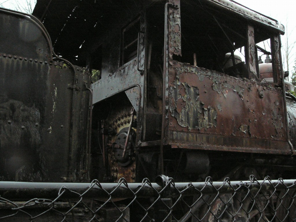
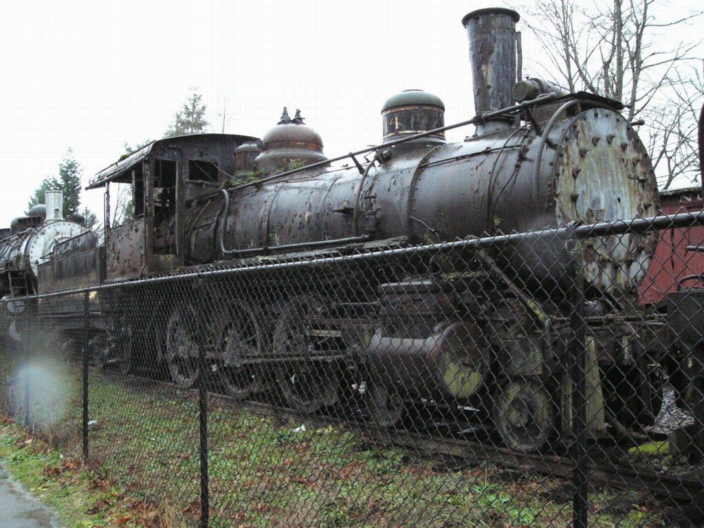

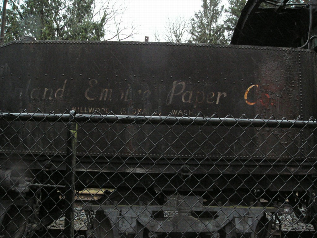
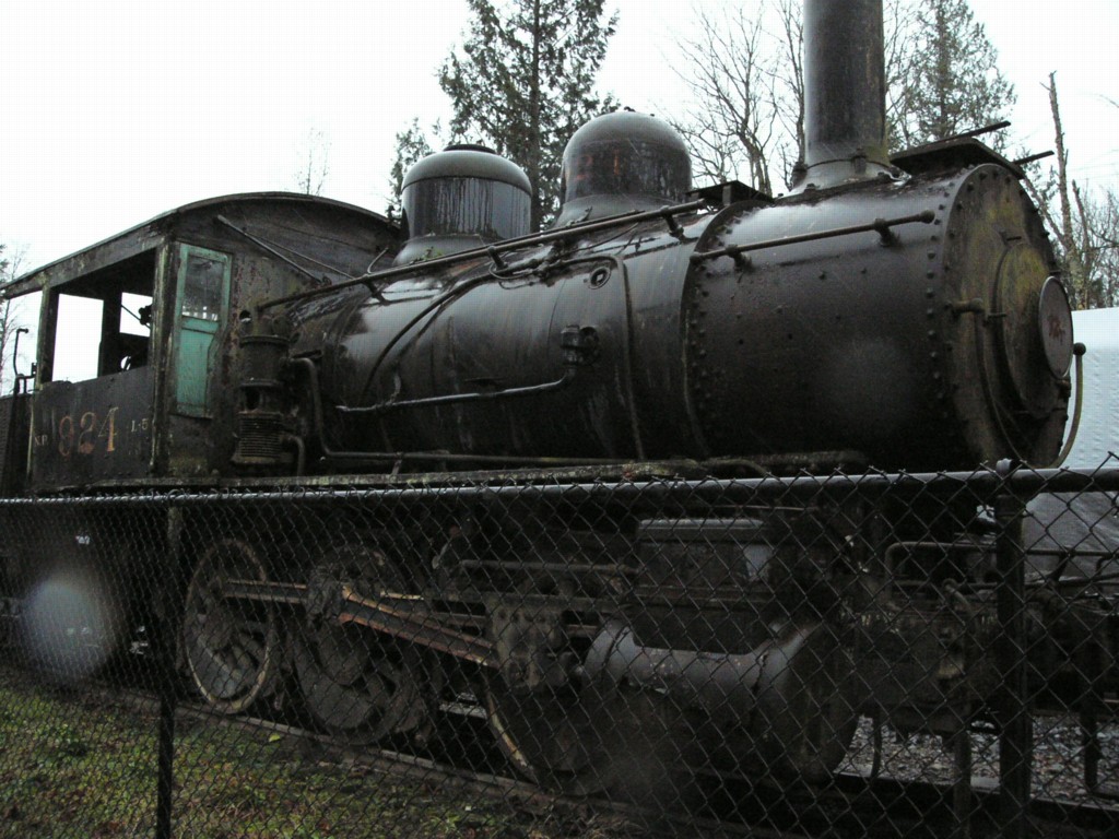
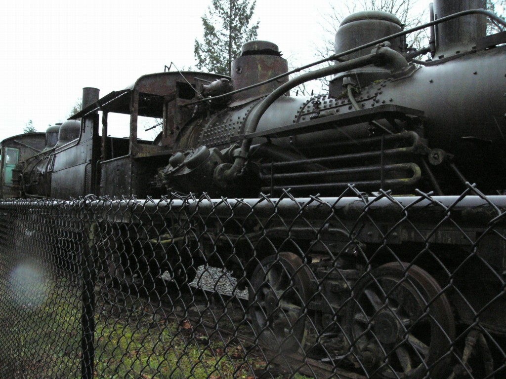

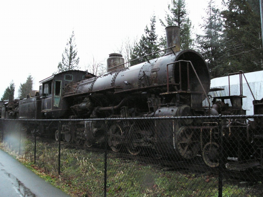
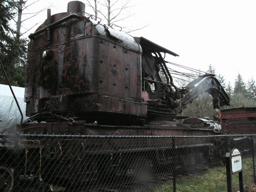


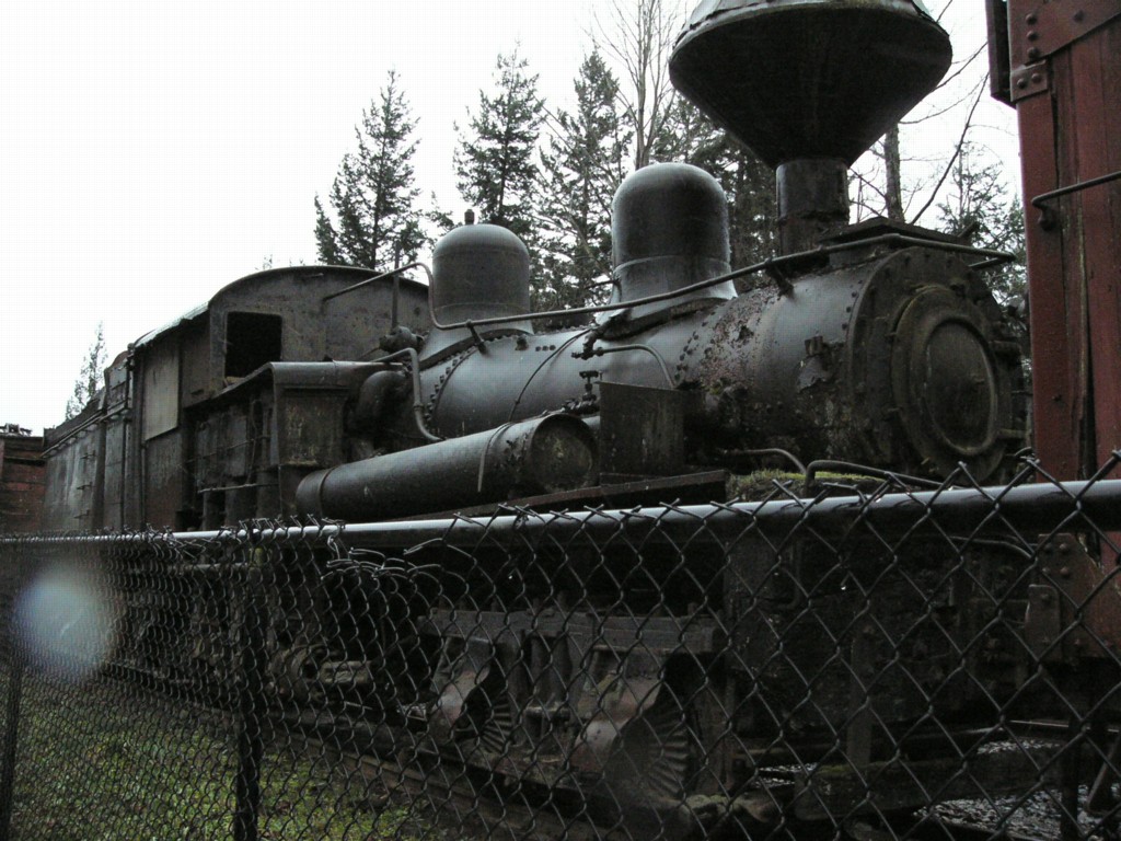
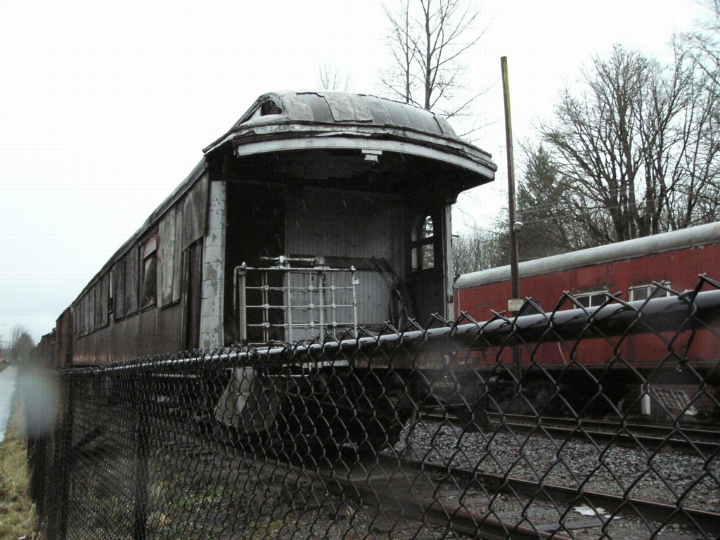
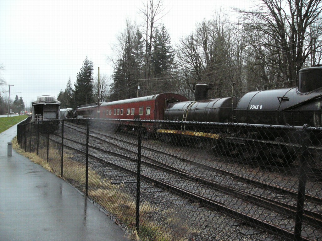
Tracks to nowhere….
The Santa Train Arrives
As I was wandering around snapping my photos of the various trains on display at the Snoqualmie Station, I heard the familiar tell-tale sounds of a not too far off train on-coming. I quickly made my way around the station and into position just in time to capture a view of the Santa Train as it pulled into the station.

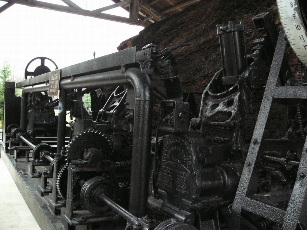
After watching the swarms of happy children boarding the Santa Train with their slightly harried parents, I wandered on through the rain to shoot my pictures of the Grave Yard of Trains, and along the way, I found this old log cradle.
The cradle was used to hold those old monster old growth logs so that they could be passed through the mill saws and cut to dimension.
An example log still sits in situ waiting for a turn at a mill that no longer exists.

After making my way through the Graveyard of Trains, I was back at the station, when a gentleman in classic Railroad Police garb chatted me up about the Snoqualmie railroad. We conversed about my Sumpter Narrow gauge railroad up in eastern Oregon, at around which point he told me where to find the Snoqualmie Railroad’s new Museum building and restoration shop.
A quick trip down the road towards North Bend, brought me here.
Sadly, there wasn’t anyone at the service shop and the museum looks like its still a work in progress, but hopefully when I visit again, the Museum will be completed. Can’t wait to see what they’ll have inside, maybe some of those poor old Locomotives sitting on the sidings will finally get a home inside somewhere dry.
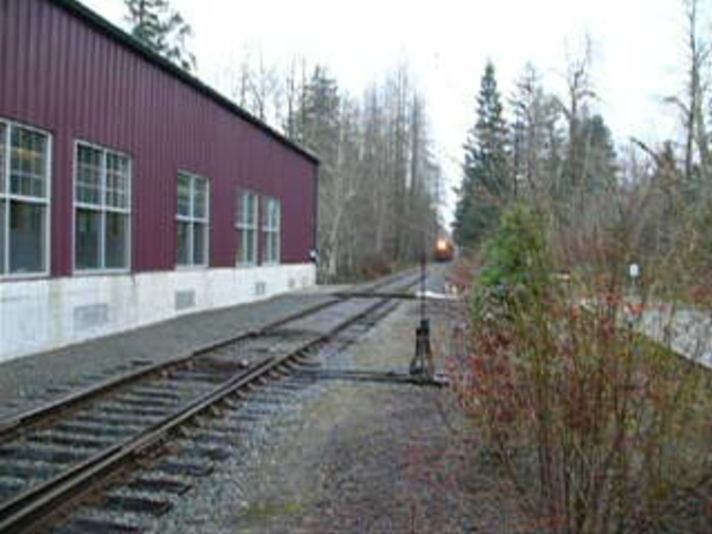
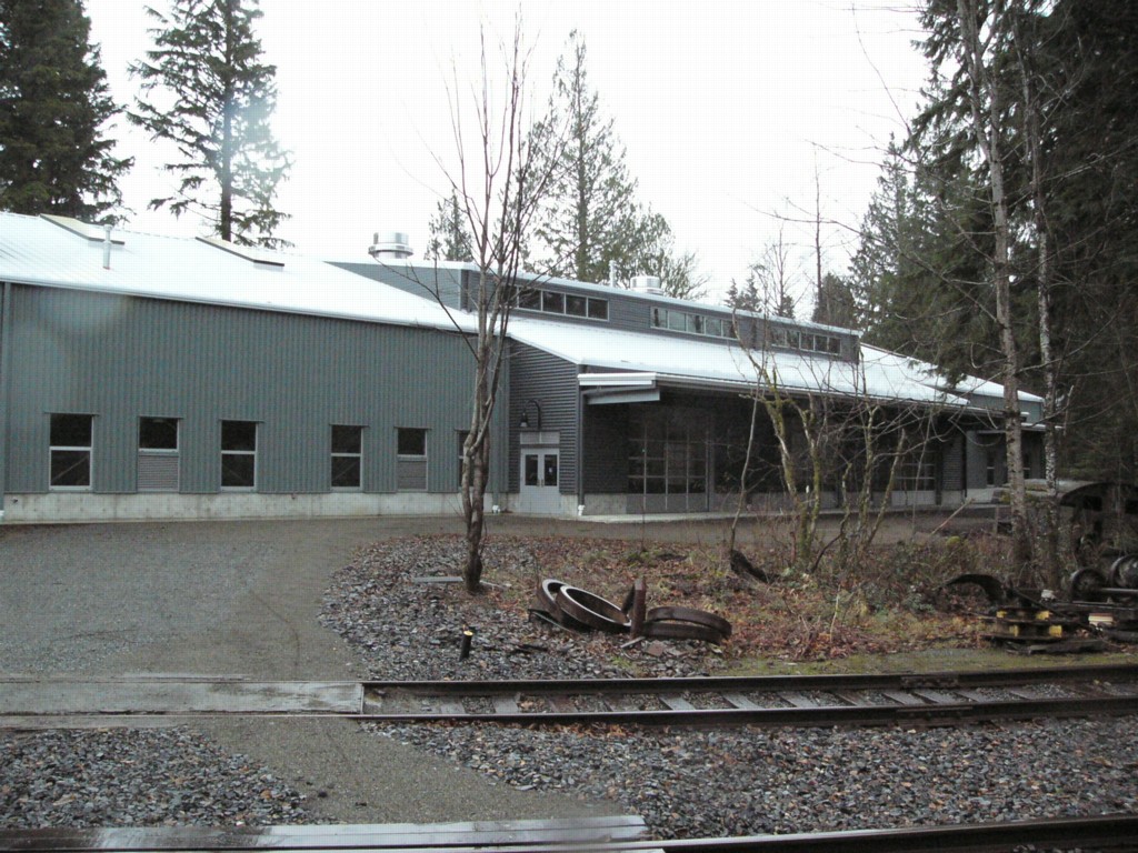
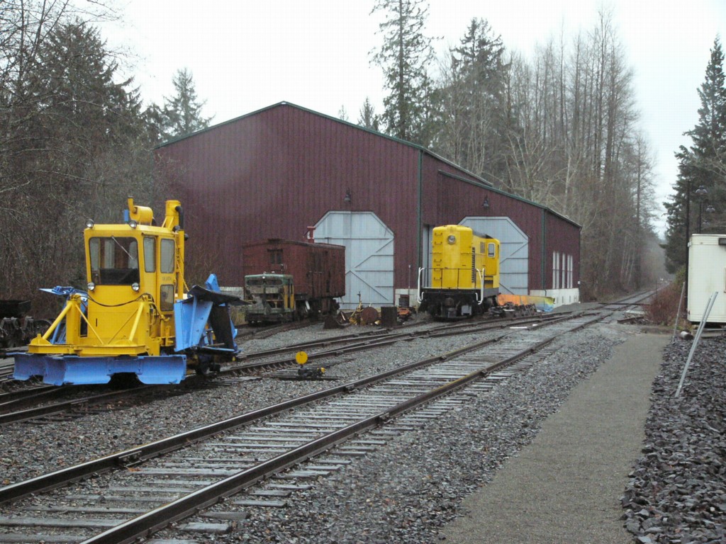
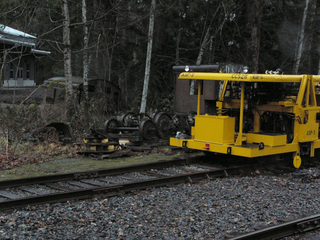
As I was making my way back towards the car, I caught the sound of a horn once again and came up next to the crossing next to the service shop just in time to catch the Santa Train on its return trip to the Snoqualmie Station!
Having taken a picture of everything I thought potentially photographic, I made my way the rest of the way into the town of North Bend. The Santa Train was off at the Snoqualmie Station, but it wouldn’t be long before I heard that horn thrice.
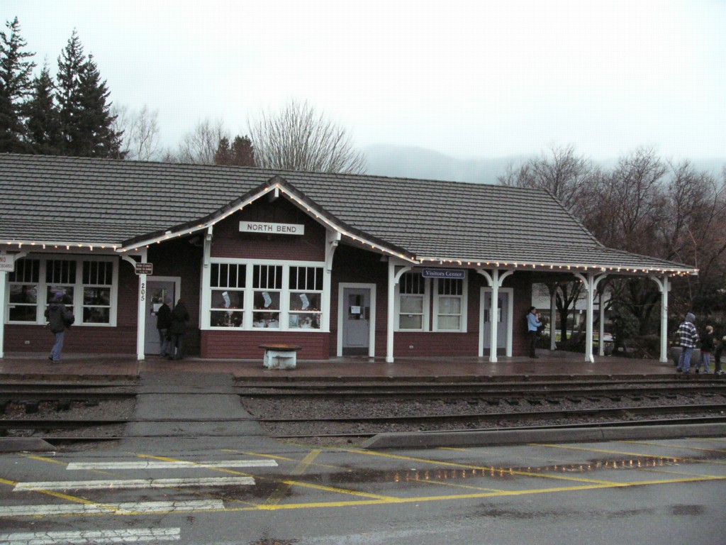
The North Bend station is sadly not the original, but a rather nice reproduction of the original station that once stood in town. The track comes to an end not too far past the station, though at one time, it did run another five or so miles further along to the next town down the road.
After hanging around a little while to snap a few more photos, I packed up and made my way back towards Snoqualmie, I had one more stop on my agenda for the day, Snoqualmie Falls.


