


Weekend before the 4th of July, decided to load up the camper after its nearly five month slumber and take her out to do a little exploratory camping on my way to my friend Matt's birthday Rally on his farm.
This being the second time I've participated in this little Mini-Rally, I decided that I'd make it a rule to explore a new back-country area of Oregon between work and Matt's Farm.
Last year, I visited McMinville and the Evergreen Aviation Museum, which is home to the legendary Spruce Goose.
This year, I decided I'd start scouting some more BLM/USFS lands and campgrounds to add to my list of places to go for a weekend trip.
The first step before I could even head out was, of course, to load up the camper. Thanks to the help of my neighbor, this only took 4 hours to go from parked to loaded. To keep on schedule, I loaded the camper up Thursday evening so I could drive it in to work the following morning. That way, once my shift was over, I could make a B-line straight to my mountain destination.
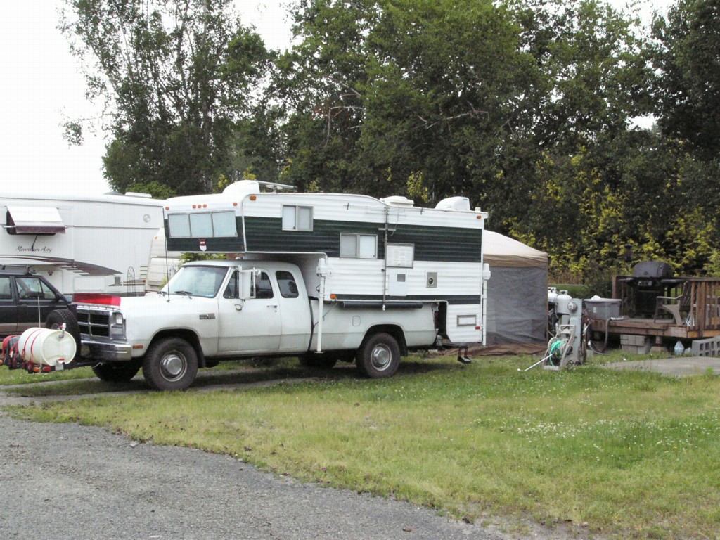
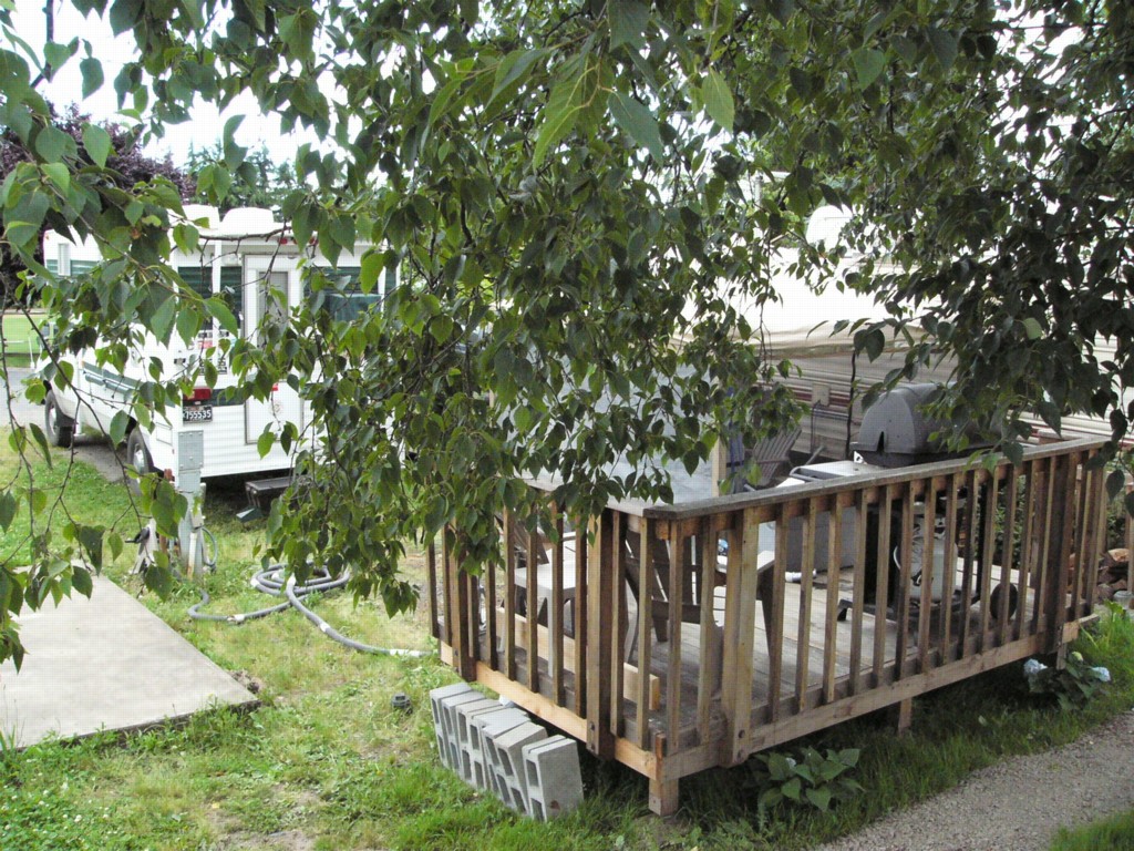
The site kinda looks different with the camper loaded up and moved from its regular place of rest. Certainly looks a bit odd with a Deck standing all by itself.
Friday at work was perhaps the worst part, being able to look out the window and see the camper waiting for me in the parking lot made part of the day rather hard to concentrate during. However, work got done and eventually five-o'clock rolled around and I was able to set off for parts unexplored.

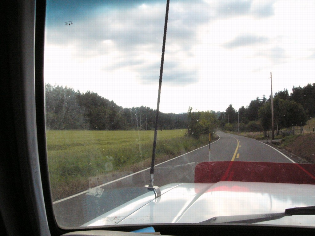
I started out by hopping on Highway 47 and following it south till I reached the town of Carlton, Oregon. From there, I turned west onto Meadow Lake Road and began my climb into the unknown.
The roads were hilly, and a few were steep, but the truck handled them alot better than it had in the past, probably due to my being able to unload alot of my heavier items that I don't normally need in the camper into stationary locking cabinets back at Redneck Base Camp.
As you get closer to the Nestucca Recreation area, you eventually pass McGuire Reservoir, one of the large water supplies for the city of McMinville. Sadly, the reservoir is off limits to everyone, and sneaking in to try and fish the reservoir will get you a fast trip to the county lockup.
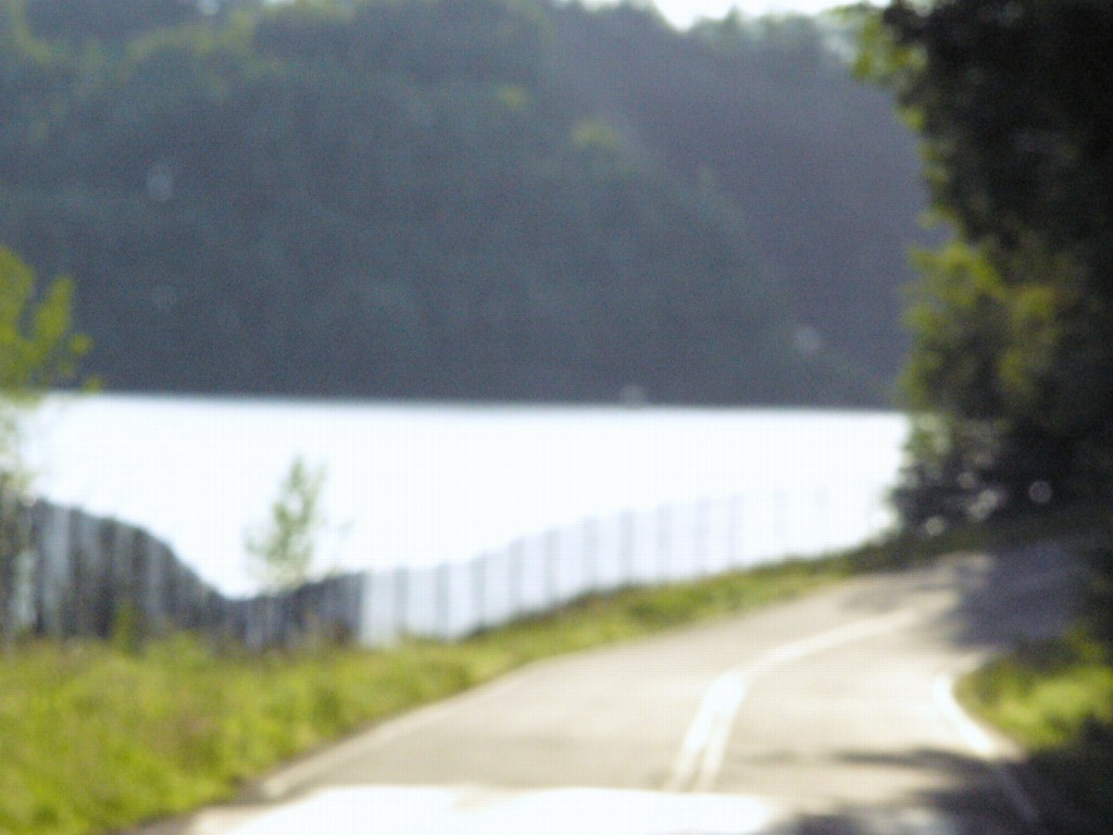
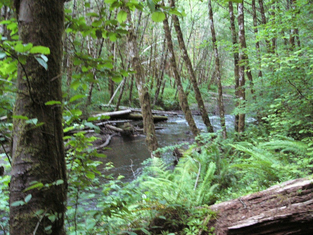
After roughly an hour and a half of driving, I finally arrived at the Dovre Campground along side the Nestucca River. There are several campgrounds along the river, Dovre being the first that you encounter along the road going from North to South.
One really interesting thing is the fact that Google had sent one of their "Street View" cars through this area, given the low hanging canopy of trees along the road, I was honestly surprised the camera they used managed to make it all the way.
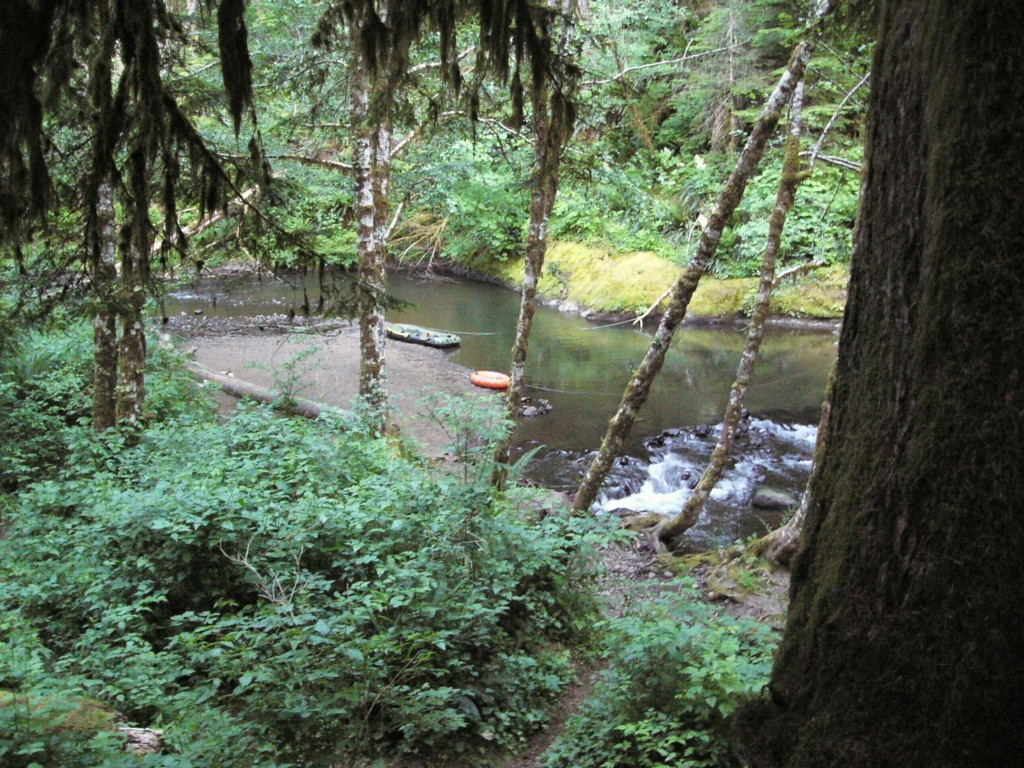
Given the views from the Google Street View Camera, I was half expecting the campground to be empty. Instead, I discovered that the Nestucca River is a rather popular little getaway area. Given that the campsites are $10 a night (Used to be $6), I'm not surprised.

With luck, I managed to find a campsite away from most of the other campers with a decent view of the river below.
It took a few tries and a couple times turning the camper around before I managed to get her all the way into my site in such a fashion that I wasn't risking someone being a bit less than attentive and smacking into the step-hitch extension on the back.
In the end, I wound up parked at a 60 odd degree angle across the site lengthwise, employing the use of several wooden leveling blocks to straighten out.
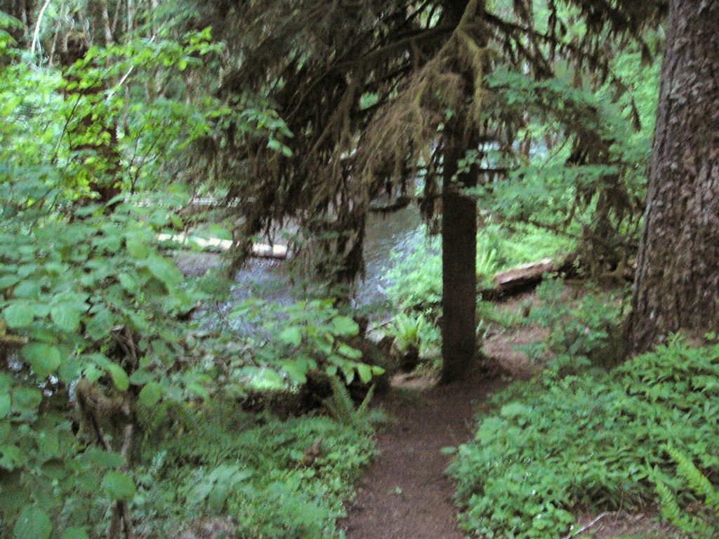
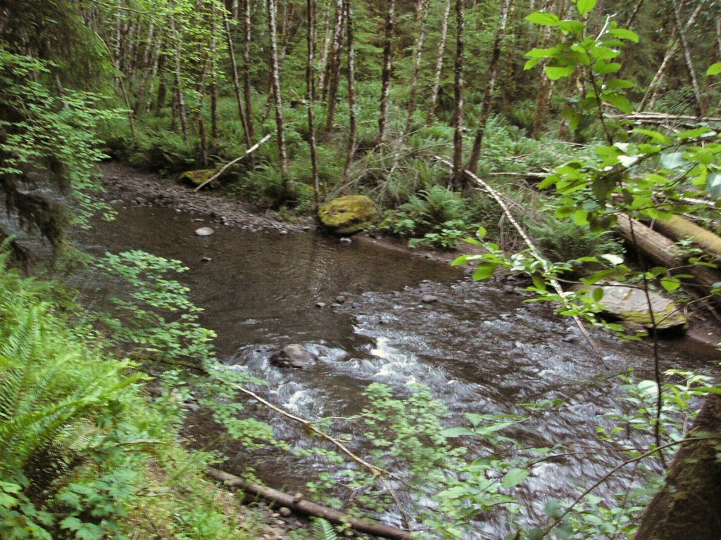
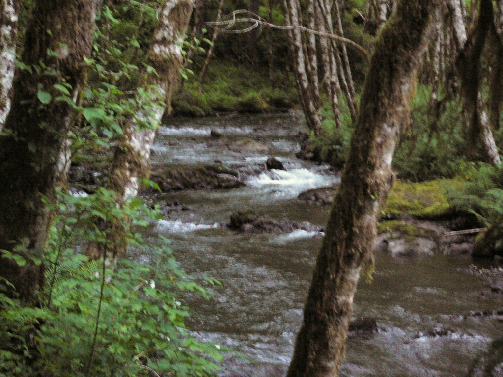
Once I was parked for the evening, I fired up the water heater, then took my camera for a short stroll down the hillside next to my camper to shoot a few pictures of the river as it snaked its way past the little Dovre campground.
After snapping a few photos and paying my site fee for the evening, I returned to the the Redneck Express and pulled out my folding chair, along with my cigar box, a can of Pepsi, a good book and sat outside enjoying the sounds of the river, while puffing on a Don Osvaldo torpedo and turning the pages of my latest favorite novel.
Morning met me outside as I unloaded my generator and set it up to recharge the camper's battery bank while I fixed breakfast (And to power the toaster).
While the generator thrummed away I fried up some thick sliced bacon and eggs, with toast and toaster waffles for breakfast. The trickiest part of my exploration was still ahead, navigating the road from camp down to the town of Willamina, Oregon and on to Matthew B's farm.
Sadly, in my exuberance to get loaded quickly, I tried to step out the wrong way from the camper down onto the hitch step and bent my knee back the opposite direction that it was meant to go. Hand I not had a good grip on the pull-up handle by the door, I would have very likely crashed to the ground and given my head a nasty crack on the asphalt.
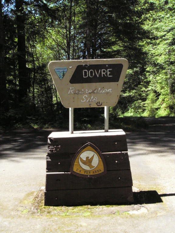
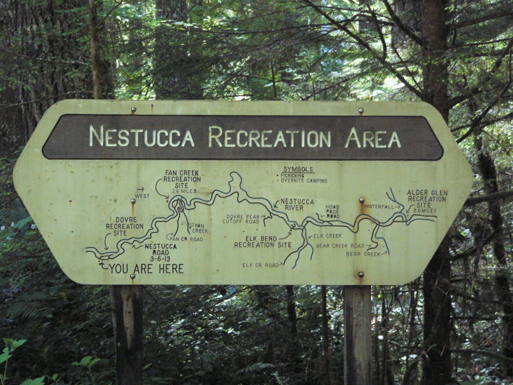
As I was pulling away from camp a little later that morning, I caught sight of the sign shown above detailing all of the campgrounds along the Nestucca river.
In hindsight, as I made my way down the road, I should have stayed at Fan Creek, the next campground down the road from Dovre, it was both larger, and had better river access.
Another thing I learned about Google map-based directions is this, directions that state "Turn on to XYZ road" work great, so long as there's signs actually demarcating what road is what.
That was far from the case with these back country roads. Plus, another thing I missed when touring the route using the street view was that just past the last campground in the Nestucca Recreation area, the road suddenly turns from asphalt to chuck-hole littered dirt for about 5 or so miles. Further examination later on revealed that there is only a "Pavement Ends" sign on the south end of that road section, but not the north.
Somehow, either through my memory of what some of the intersections on the roads looked like from Google Street Views, or through sheer dumb luck, I safely and without incident, made my way to the city of Willamina, Oregon and on to the Grand Rhonde Casino, just west of town on Highway 22.
My logic behind visiting the casino was simple. On tribal lands in Oregon, you can pump your own gas. I needed to refill my tank at this point, and when I can, I prefer to fill my own gas tank.

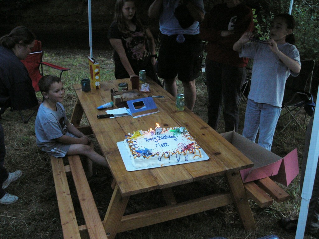
Around 2:30pm I finally arrived at Matthew B's farm, and after a brief stop at his camper dump station to relieve the full-to-the-brim holding tank on my camper, I made my way across the fields and down into the little creek cove tucked away on his farm.
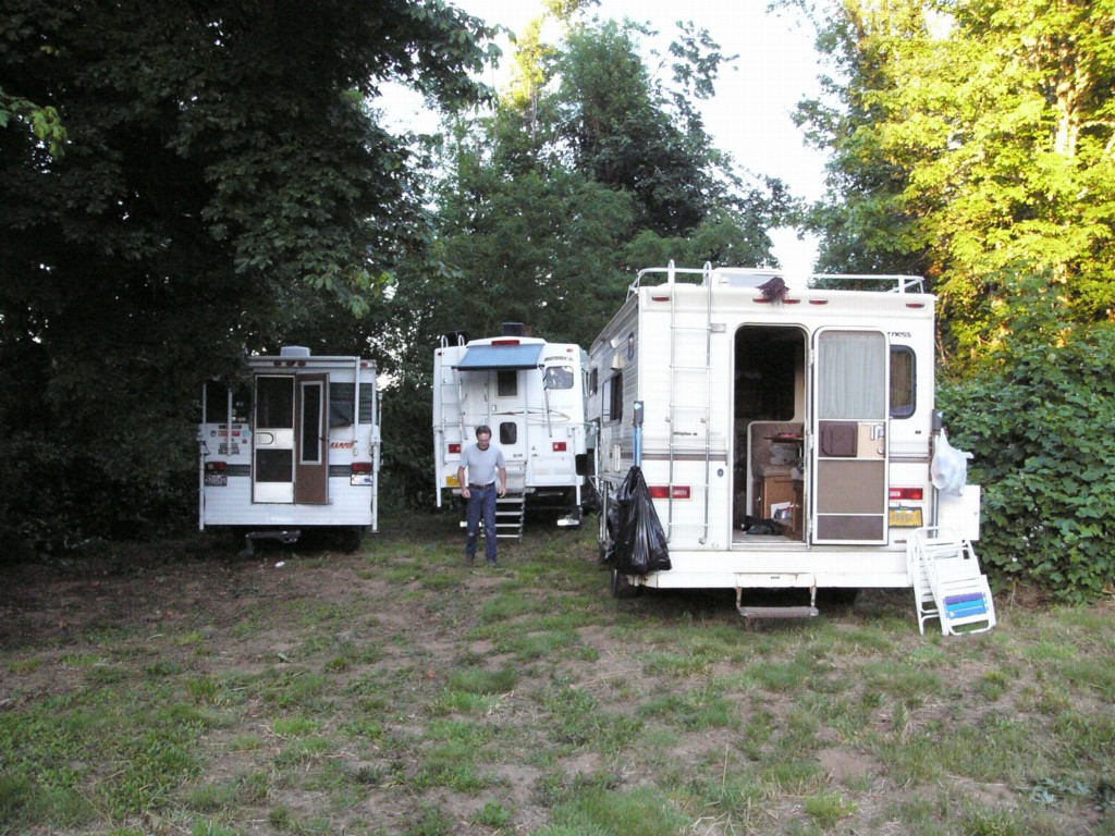
Mjgcamper was already pulled in next to Matthew B's own camper, after the help of Matthew B and Mjgcamper breaking a number of low hanging branches off the big maple overhanging part of the area, I pulled in along side them.

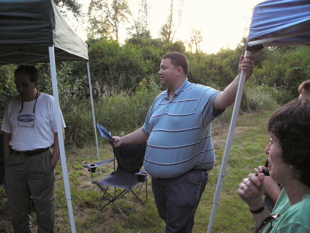
The rest of the day and into the night was made up of eating, drinking, and chatting about work, and consulting various road atlases to plot future Rallies.
After that, we all turned in and slept soundly, Matt cooked some of his scratch made pancakes in the morning along with eggs, bacon and sausage. We then chatted yet more about camping routes, before breaking camp and saying our goodbyes.
I made my way on to visit family near Salem, where I stayed overnight while doing the laundry and then eventually made my way back to work on Monday and unloaded the camper that evening.